The Alt Urgell-Cerdanya LAG Consortium operates in the counties of Alt Urgell and Cerdanya. They are rural and mountain areas of great natural and scenic value integrated within the territorial scope of Alt Pirineu and Aran.
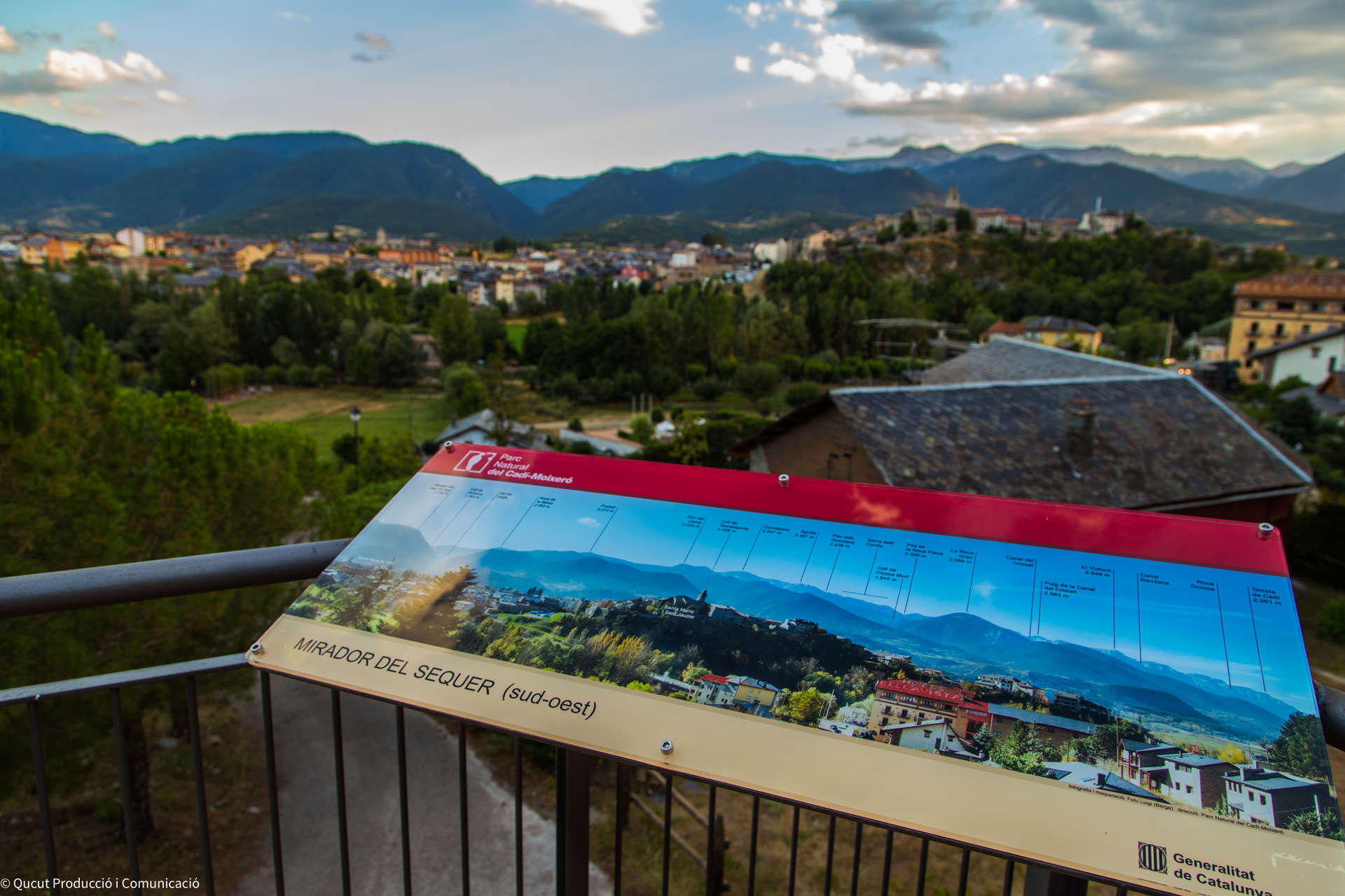
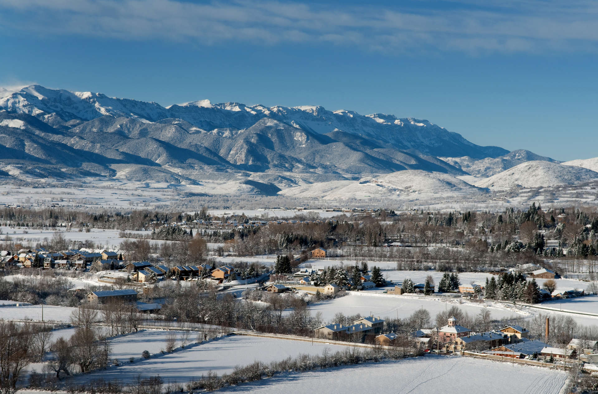
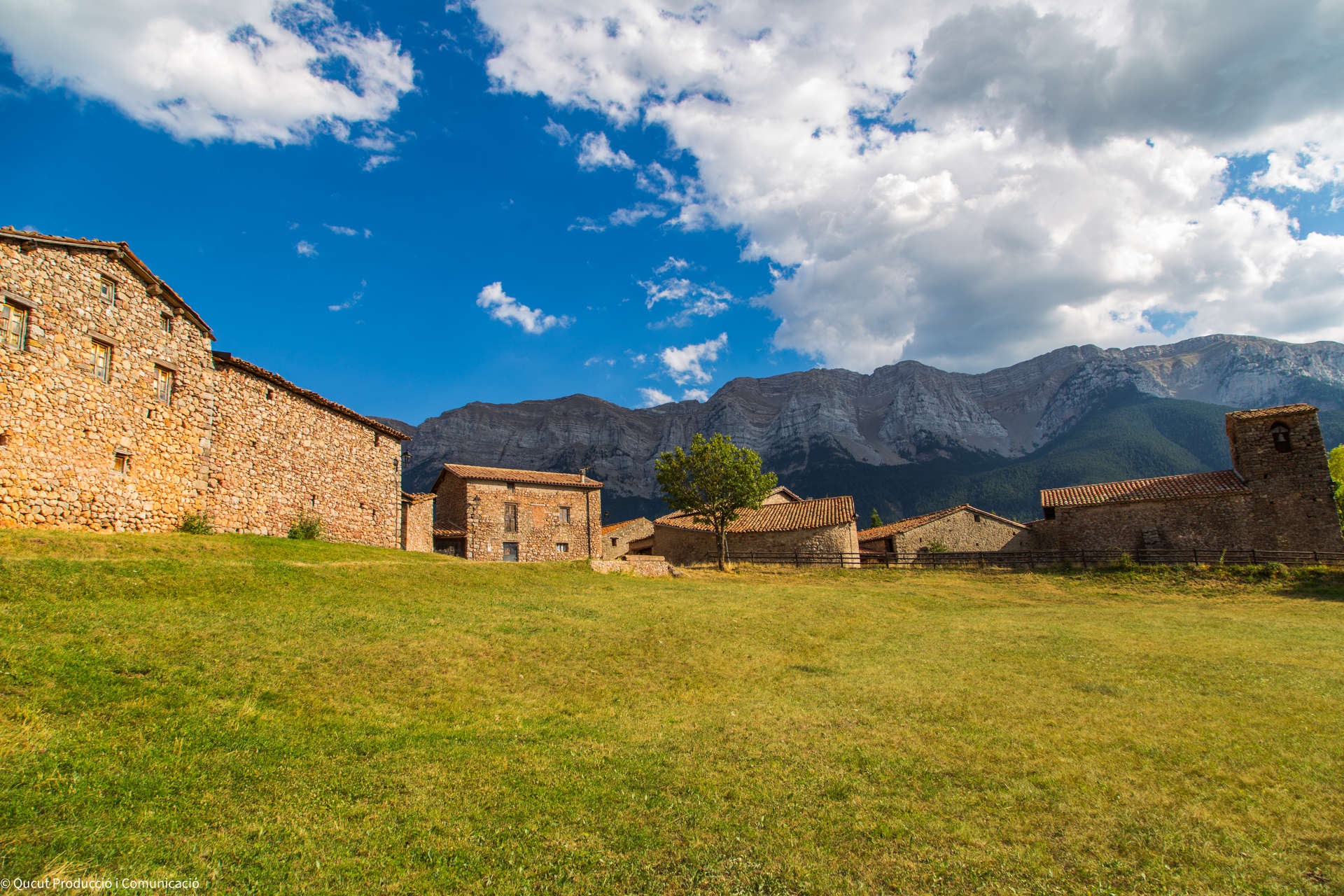
The orography of the terrain is complex and rugged and is shaped from the main valley of the Segre River and its lateral valleys, with plains at the bottom of the valley and summits of up to 2,900 meters. These orographic features make up important territorial differences between the regions with transport difficulties, scarce settlement, an important dispersion of the nuclei and a lack of economic dynamism and activity.
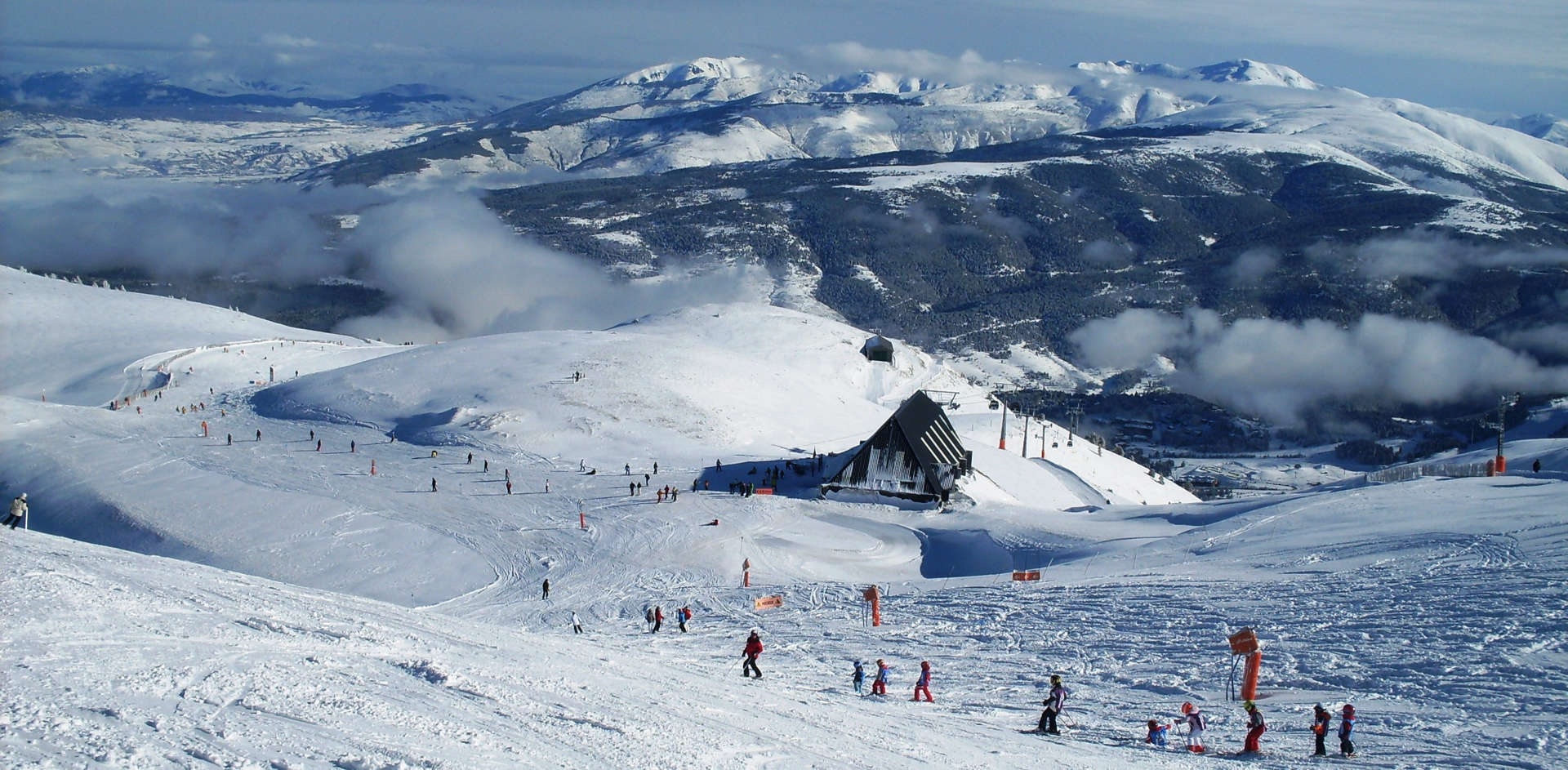
The valley floor, where most of the flat areas and the road axes are concentrated, accommodates a good part of the population and its activity. The territory is composed of large forest areas and an agricultural landscape shaped by meadows and pastures. Agricultural activity is declining and, especially in Cerdanya, there has been an important urban growth in recent years of second residences and infrastructures linked to skiing and snow sports. This fact, together with the proximity to Andorra, has significantly conditioned the socioeconomic evolution of the territory.